
|
|
 |
 |
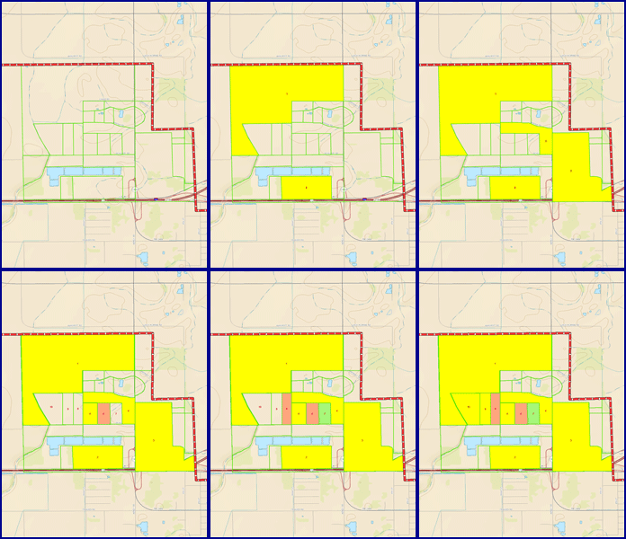 |
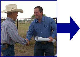
- Field reports are quickly turned into information in your map files.
- Standard Mapping includes custom designed layers.
- Research and track: leases, well permits, well production records, active well search, seismic surface permits and competitor analysis.
- Automatic alerting of new production,
permits, and leases.
|
 |
|
 |
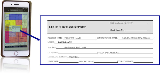
- Custom web maps to allow easy access to your data.
- Maps & reports available via a client specific, password protected web page.
- Web maps may be linked to lease/production paperwork.
|
 |
 |
|
 |
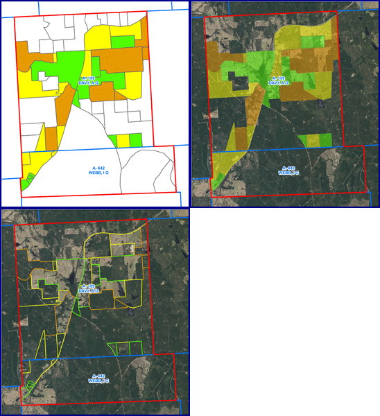 |
- ESRI ArcMap 10.7.1, ArcGIS Pro 2.3, and Pitney Bowes MapInfo 17. All files can be
made available for backyard compatibilty.
- Maps are maintained and updated for long term use, or files may be prepared for your mapping convenience.
- Maps are available as hard copies and/or .pdf versions of maps in a wide range of sizes.
- Import & Export in a variety of formats, compatible with most mapping, CAD & geology software, including: file types: .dxf, .drg, .shp, .tab, and .kml for use with Google Earth.
- All Data is customized, created and
available for your use in ArcMap, ArcExplorer, ArcReader,
QGIS, as well as inegratation into customized land system
programs.
- Map packages are available to support
your GIS team with your ArcMap or MapInfo License. We can
create a few custom layers or a complete map.
Free mapping viewers are available to fully utilize all of your mapping information.
Learn about and download FREE ArcGIS Explorer here.
Learn about and download FREE ArcReader here.
Learn about and download FREE Google Earth here. |
 |
|
|
|
|
|
|
|
|
|
|
|
|
|
|
|
Roger A. Soape, Inc. • Energy Land Services • Houston, Texas • 281.440.6347 |


